Coastal Flooding Meetups
Harnessing the power of communities.
As a coastal community, we need to understand the increasing impacts of flooding from sea level rise and coastal storms. That’s where you come in! We invite you to join experts from the Gulf of Maine Research Institute and your municipality to learn about sea level rise and contribute your own observational data.
Our goals:
- Collect data to reveal the weather and water level conditions that are associated with localized coastal flooding.
- Collect public opinion on concern and impacts of flooding.
- Raise awareness of local flooding impacts.
Who can participate?
Anyone can take photos and upload their data online.
What data am I collecting?
Make observations of coastal flooding in your community by taking photos and answering questions about the conditions.
When can I participate?
Observations can be made year-round during high tides and coastal storms. Look for upcoming coastal flooding meetups below to join others from your community.
Where can I participate?
Make observations at a coastal flood monitoring site in a participating town on the coast of Maine or at any place that is of importance to you or your community. Join others at events below to participate as a group.
Why should I participate?
The collection of data is important in understanding how weather and sea level rise contribute to coastal flooding, erosion, and damage to the shores and coastal infrastructure of a community. By participating, you are contributing valuable data to build a more resilient coastal community.
-
From Apprentice to Manager and Mentor: Kat Lipp’s Full-Circle Journey in Maine Aquaculture
“I’ve always been drawn to water.”It’s not a statement you might immediately associate with someone who grew up just outside of Cleveland, but for Mere …
Perspectives
-
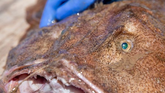
Exploring the Gulf of Maine — A Closer Look At Local Species
The Gulf of Maine is full of all kinds of marine life. Some are familiar favorites like tuna and oysters, while others are lesser-known but …
Perspectives
-
Findings from the Field Symposium Highlights the Power of Student Science
On March 30, more than 100 students from across Maine and New Hampshire, gathered at Unum for the annual Findings from the Field Symposium — …
Perspectives
-
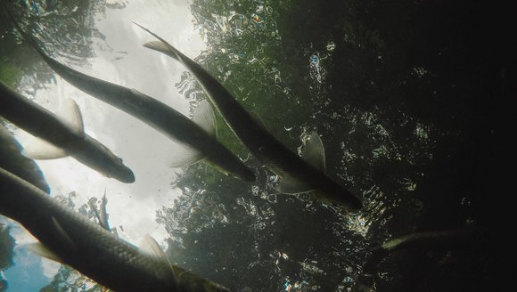
Anadromous Fish 101
Every year, millions of fish make a journey that defines one of nature’s most remarkable life cycles. Read on to learn more about anadromous fish.
Perspectives