Crossing Boundaries: Understanding and Projecting Species Distribution Shifts in U. S. and Canadian Waters
Projecting shifts through time.
Species distribution shifts are widely observed as ocean waters warm, affecting ecosystem dynamics and fishery management processes. We will develop models that operate across U.S. and Canadian Atlantic waters to understand how and why species distributions are changing. Forward projections of species distributions under future ocean conditions will provide information needed to support climate-ready fisheries management, fishing community adaptation planning, and marine spatial planning across the region.
Project Goals:
- Integrate U.S. and Canadian fish survey data into a spatio-temporal modeling framework and evaluate model performance.
- Identify environmental and ecosystem drivers of past species distribution changes and use dynamic drivers to project species distributions into the future.
- Use model outputs to investigate ecological and management-relevant questions.
- Increase availability and usability of code and outputs to other scientists and stakeholders through data repositories and visualization interfaces.
Species distribution shifts are one of the most widely reported biological consequences of warming across marine ecosystems, and they create complex challenges for fisheries management within countries and across international management boundaries. The Northwest Atlantic Shelf, which spans U.S. and Canadian Atlantic coasts, has experienced exceptional increases in ocean temperatures, and associated species distribution shifts have been documented in this region. However, to date, efforts to understand and model species distribution shifts across the U.S./Canadian national boundaries have been limited by key differences in fish surveys in each country. As a result, we lack information needed to support managers and other stakeholders making decisions that will be affected by species changes within this dynamic environment.
Recent modeling advances now make it possible to integrate observation data from multiple surveys in a robust manner. Through this project, we will integrate U.S. and Canadian fish survey data into a distribution modeling framework that is designed to account for survey differences and other spatial and temporal variation. Using this modeling framework, we will characterize current marine species distributions relative to environmental conditions (e.g., ocean temperature, salinity) and project how they will change in the future. Analyses of observations to date will enable us to investigate the nature and drivers of species change, and forward projections will provide a foundation for supporting forward-looking fisheries management, fishing community adaptation planning, and marine spatial planning processes. Outputs will be publicly accessible via an interactive online dashboard.
Project Team
-
![the staff photo for Kathy Mills]()
-
![Andrew Allyn]()
-
![Adam Kemberling]()
Adam Kemberling
Former Quantitative Research Associate
Project Sponsor
Material mentioned on this page is a result of research funded by the National Oceanic and Atmospheric Administration's Cooperative Institutes under award NA19OAR4320074.
-
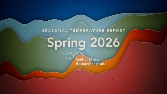
Gulf of Maine Temperature Report: Spring 2026
Over the past decade, our scientists have led a body of research that highlights temperatures in the Gulf of Maine. To keep you informed, we …
Reports
-
The Ocean Is Changing. Fisheries Around the World Can Face It Together.
Climate change is reshaping fisheries around the world, and the knowledge being generated in response, from the Gulf of Maine to the Mediterranean to the …
Perspectives
-
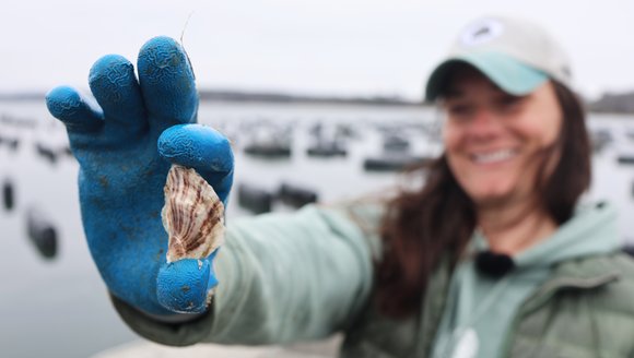
From Apprentice to Manager and Mentor: Kat Lipp’s Full-Circle Journey in Maine Aquaculture
“I’ve always been drawn to water.”It’s not a statement you might immediately associate with someone who grew up just outside of Cleveland, but for Mere …
Perspectives
-
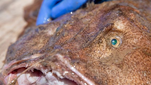
Exploring the Gulf of Maine — A Closer Look At Local Species
The Gulf of Maine is full of all kinds of marine life. Some are familiar favorites like tuna and oysters, while others are lesser-known but …
Perspectives